Automatically loads active Cyclone 05B (Akvan) or switch basins/invests below.
Cyclonic Storm 05B (Akvan) — Bay of Bengal
Present Position
--°N, --°E
Loading CIMSS fix...
CIMSS ADT
-- kts / ---- hPa
Loading ADT...
AiDT-V2 (AI)
35 kts
AdjT# 2.8 • RawT# 2.8
SATCON Consensus
39 kts / 999 hPa
ADT + NOAA-20 Sounders
DMINT / DPRINT
40 kts / 997 hPa
ATMS-N20 • DPRINT 36 kt
Cloud / Eye Temp
--°C / --°C
IR brightness temps
Syncing live UW-CIMSS ADT telemetry for Cyclone 05B (Akvan)...
Positioned in a 500 hPa col between twin 588 dam subtropical ridges, steered gradually NW by the 500–850 hPa deep-layer flow.
IMD/JTWC project slow strengthening to ~50 kts before crossing the Nellore–Tuni / Kakinada (AP) coast around 19 Nov 2026.
Present RB / Infrared Cloud-Top Satellite View
Shows live convective cloud-top cooling & curved-band organization directly below the status dashboard.
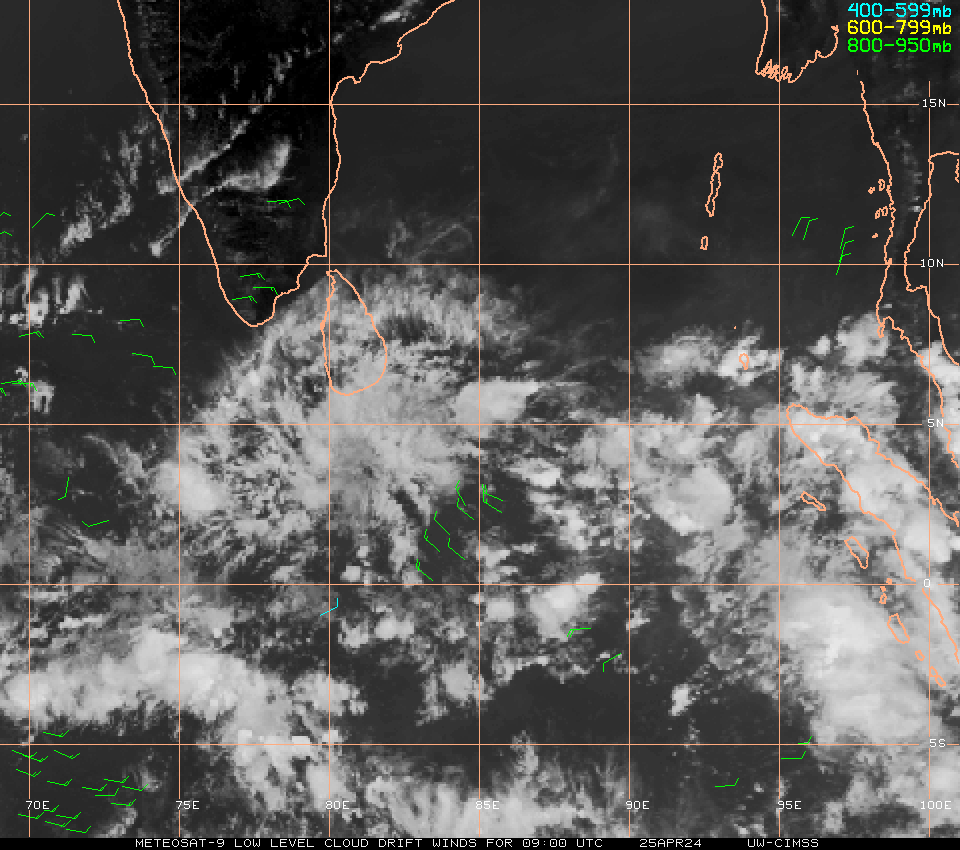
Satellite image preview blocked in embedded view
Open the direct CIMSS or RAMMB RB/IR feed below to view the latest cloud-top scan.
Open Live Storm-Zoom IR ↗Cloud-Top & Eye Readout
ADT Cloud Temp: --°C | Eye Temp: --°C
Deepest convective bursts appear as bright cyan/red/white tops around the Curved Band (CRVBND) center.
Direct Satellite Feeds
Deep-Layer Wind Shear (200–850 hPa) & Wind Barbs
Smooth bilinear-interpolated ECMWF atmospheric field with standard meteorological wind barbs (half = 5 kt, full = 10 kt, pennant = 50 kt) and 500 hPa ridge heights (dam).
All-Level Ridge & Wind Stack (ECMWF)
Live geopotential height (dam) & wind barbs near storm center
200–850 Shear
-- kts
Evaluating...
500–850 DLM
-- kts @ --°
Steering vector
850 Peak Vor
-- ×10⁻⁵
Spin center
500 Ridge Max
-- dam
588+ dam = strong
Multi-Sensor Satellite Intensity Consensus (05B Akvan)
CIMSS ADT, AiDT-V2, DPRINT, MW Sounders, SATCON & DMINT (knots)